search
Germany elevation map
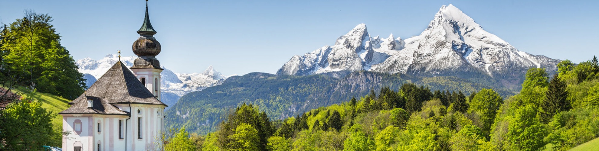
Map of Germany elevation. Germany elevation map (Western Europe - Europe) to print. Germany elevation map (Western Europe - Europe) to download. Germany elevation ranges from the mountains of the Alps (highest point: the Zugspitze at 2,962 metres (9,718 ft)) in the south to the shores of the North Sea (Nordsee) in the northwest and the Baltic Sea (Ostsee) in the northeast as its shown in Germany elevation map. Between lie the forested uplands of central Germany and the low-lying lands of northern Germany (lowest point: Neuendorf-Sachsenbande at 3.54 metres (11.6 ft) below sea level), traversed by some of Europe's major rivers such as the Rhine, Danube and Elbe.

Wilstermarsch is an Amt ("collective municipality") in the district of Steinburg, in Schleswig-Holstein, at Neuendorf-Sachsenbande (near Itzehoe), Germany as its mentioned in Germany elevation map. It is situated around Wilster, which is the seat of the Amt, but not part of it. It is the lowest elevation point in Germany, 3.5 meters below sea level 53°57′48″N 9°19′05″E / 53.96333°N 9.31806°E.
The Zugspitze, at 2,962 metres above sea level, is the highest peak of the Wetterstein Mountains as well as the highest mountain in Germany. It lies south of the town of Garmisch-Partenkirchen, and the border between Germany and Austria runs over its western summit. South of the mountain is the Zugspitzplatt, a high karst plateau with numerous caves. On the flanks of the Zugspitze are three glaciers, including the two largest in Germany: the Northern Schneeferner with an area of 30.7 hectares and the Höllentalferner with an area of 24.7 hectares as you can see in Germany elevation map. The third is the Southern Schneeferner which covers 8.4 hectares.