search
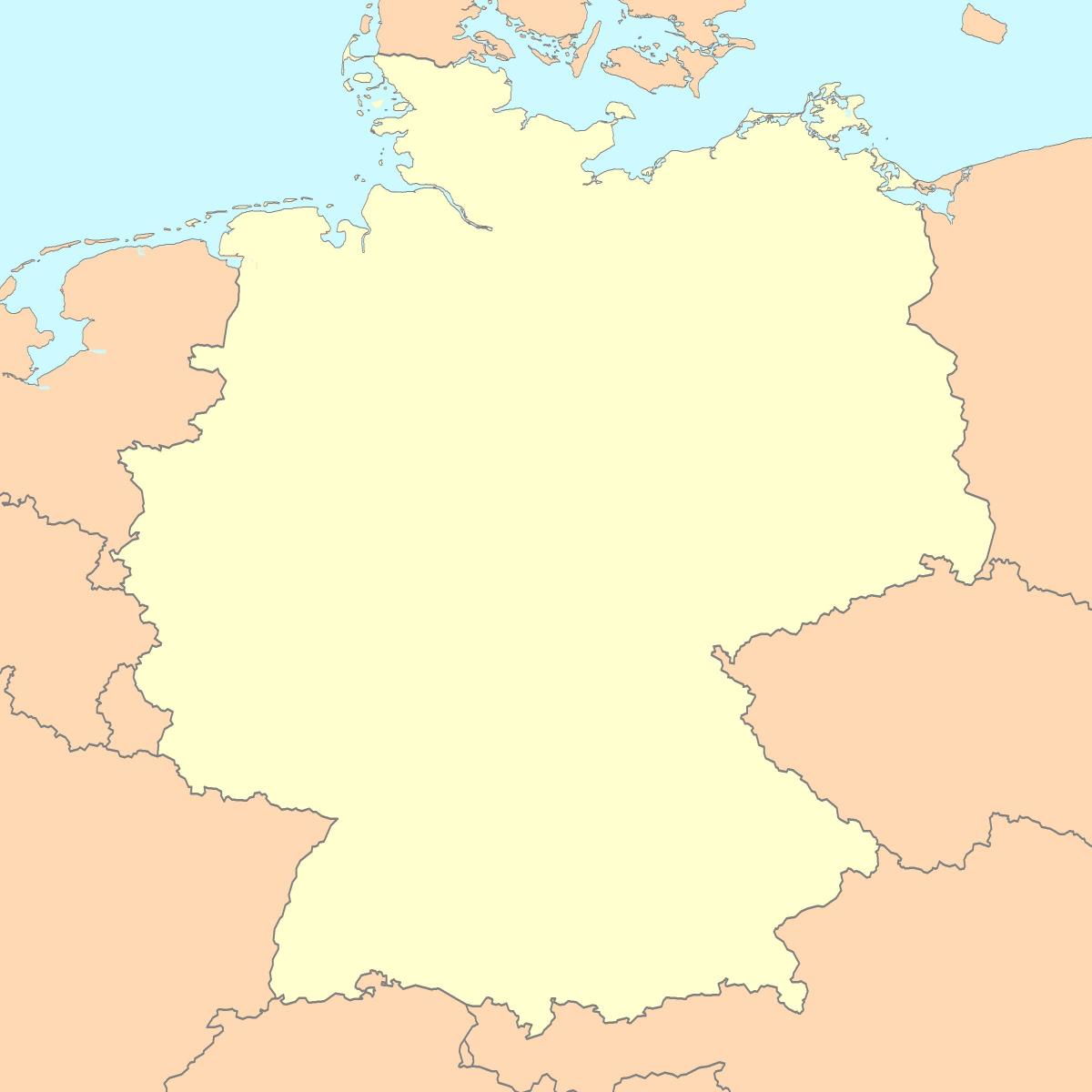
Blank map of Germany
Map of Germany blank. Blank map of Germany (Western Europe - Europe) to print. Blank map of Germany (Western Europe - Europe) to download. The blank map of Germany shows the country Germany empty. This blank map of Germany will allow you to use the map for personal activities or educational with children for example (drawing). The empty map of Germany is downloadable in PDF, printable and free. Because of its central location, Germany shares borders with nine European countries, second only to Russia: Denmark in the north, Poland and the Czech Republic in the east, Austria and Switzerland in the south, France in the southwest and Belgium, Luxemburg and the Netherlands in the west as its shown in the Blank map of Germany.
The above blank map represents Germany, a country located in Central Europe. The above map can be downloaded, printed and used for educational purposes like map-pointing activities and coloring. Germany - Länder or states as you can see in the blank map of Germany are: Baden-Württemberg - Bavaria - Berlin - Brandenburg - Bremen - Hamburg - Hesse - Lower Saxony - Mecklenburg-Vorpommern - North Rhine-Westphalia - Rhineland-Palatinate - Saarland - Saxony - Saxony-Anhalt - Schleswig-Holstein - Thuringia. The blank map of Germany mention the State Boundaries.
With an area of 357,022 sq. km, Germany is the 7th largest country in Europe. It is also the 2nd most populous country in Europe and the most populous member-state of EU. Located in north eastern Germany, in the east of Elbe River is, Berlin – the capital and the largest city of Germany as its shown in the blank map of Germany. It is also the most populous city of EU. The city of Frankfurt is the financial center of the country, while the city of Ruhr is the largest urban area in Germany.


